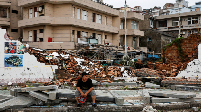
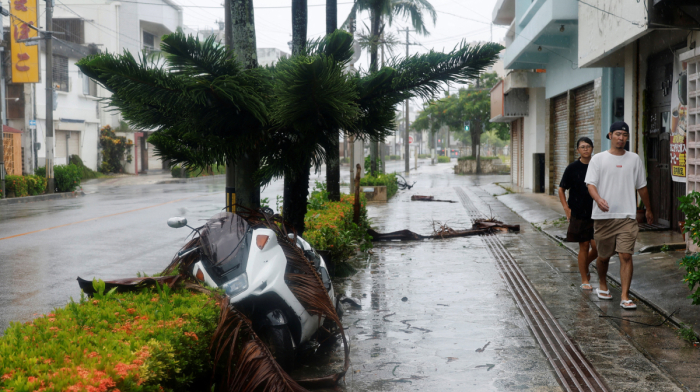
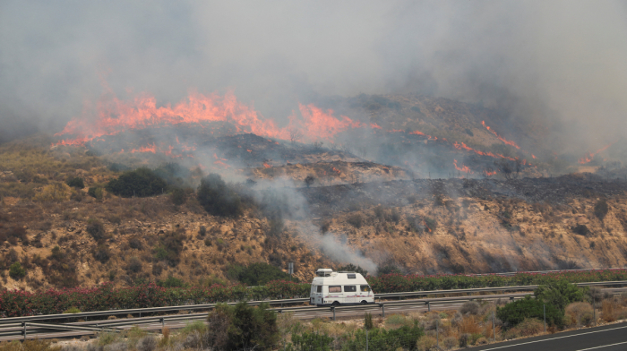
As Western Europe battles a deadly heatwave that has shattered temperature records, disrupted transport and power supplies, and forced the closure of schools and cultural landmarks, attention is turning to whether El Niño is playing a role in the extreme conditions.
Britain recorded its hottest June temperature on record at 36.1°C, while Paris reached a June high of 40.9°C. Italy placed 16 cities on its highest heat alert, and dozens of heat-related deaths have been reported across the continent.
The extreme temperatures are also affecting daily life, with construction work rescheduled, agricultural activity shifted to nighttime hours, and increased demand for cooling systems straining electricity networks.
Experts say Europe's current heatwave is being driven primarily by a persistent high-pressure weather pattern and long-term climate warming rather than El Niño directly.
However, the developing climate phenomenon could add to global temperatures and increase the likelihood of extreme weather events worldwide in the coming months.
What is El Niño?
Earlier this month, the U.S. National Oceanic and Atmospheric Administration (NOAA) confirmed that El Niño conditions had developed in the tropical Pacific after months of monitoring.
El Niño is a recurring climate pattern characterised by warmer-than-average sea surface temperatures in the central and eastern Pacific Ocean. The phenomenon can raise global temperatures and influence weather patterns across large parts of the world.
Some forecasters believe the current event could become one of the strongest in decades, although NOAA does not officially use the term "Super El Niño."
UN warns of rising global temperatures
The United Nations weather agency warned on 3 June that a moderate, or potentially strong, El Niño could push global temperatures higher and increase the risk of extreme weather.
In a video address, UN Secretary-General António Guterres warned that the impacts would "hit even harder, travel even farther, and cross borders with devastating speed."
The World Meteorological Organization (WMO) said warming ocean waters are driving the development of El Niño and forecast above-average temperatures across most regions of the world between June and August.
Where will El Niño have the greatest impact?
Although El Niño can have far-reaching consequences, its strongest effects are usually felt in tropical regions.
The phenomenon often increases the risk of flooding in parts of South America, particularly Peru, while also affecting areas of East Africa, Central Asia and the southern United States.
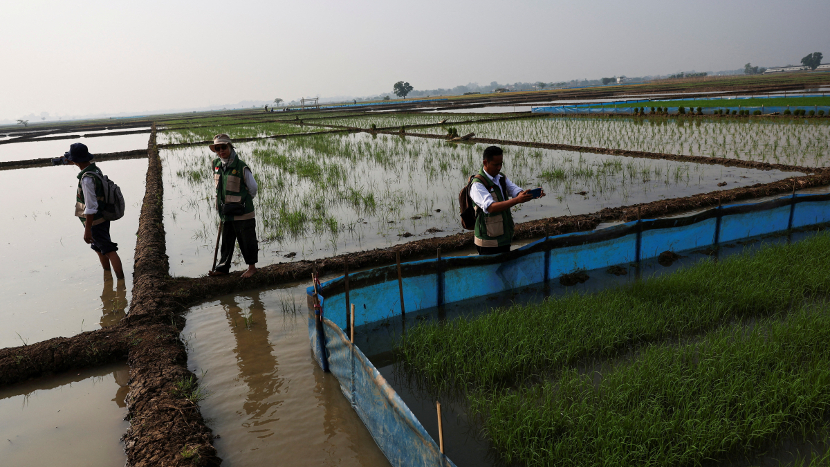
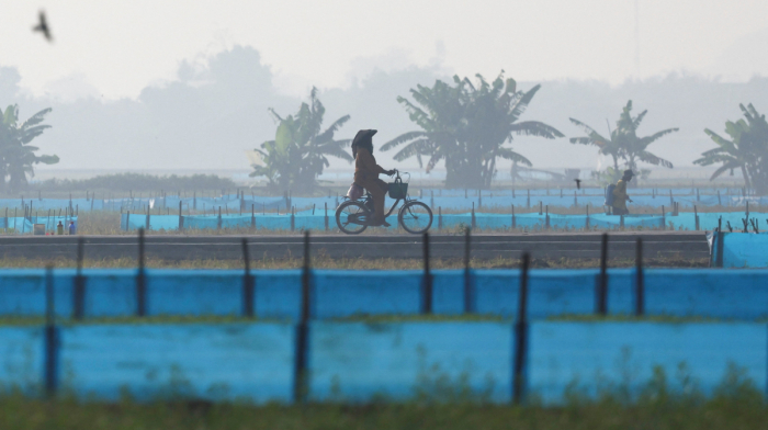
At the same time, El Niño can contribute to drier conditions and a greater risk of droughts and wildfires across Australia, northern South America and parts of Southeast Asia, including Indonesia.
Its influence on Europe and the UK is generally more indirect. However, El Niño can alter weather patterns later in the year, increasing the likelihood of milder, wetter and windier conditions during autumn and early winter.
El Niño and La Niña explained
El Niño and La Niña are opposite phases of the same climate system in the tropical Pacific.
La Niña develops when trade winds strengthen, pushing warm water toward the western Pacific and allowing colder water to rise to the surface in the east. This cools sea surface temperatures and alters weather patterns around the globe.
La Niña often brings above-average rainfall to Australia and parts of Southeast Asia, while its effects on the Indian monsoon can vary. In the Americas, it is generally associated with wetter conditions in parts of northern South America and drier weather in the southern United States.
Lessons from previous events
The strength and impacts of El Niño events vary considerably.
The 2015-2016 El Niño caused severe drought across Australia and Southeast Asia, weakened the Indian monsoon and reduced production of crops including grain, palm oil and sugar. Excessive rainfall in parts of South America also disrupted soybean and corn harvests.
The strongest El Niño on record, in 1997-1998, brought drought to parts of Asia and flooding across the Americas, causing widespread agricultural losses and economic damage.
The most recent strong La Niña episode lasted from 2020 to 2023 and influenced weather patterns across multiple continents.


What is your opinion on this topic?
Leave the first comment