The resolution, sponsored by African countries and led by Togo, passed by 164 votes to one, with six abstentions. The United States was the only country to vote against it.
The initiative seeks to promote the Equal Earth projection as an alternative to the centuries-old Mercator map, which makes land masses closer to the poles appear much larger than they are.
The Mercator projection was developed in the 16th century and became widely used for navigation. It remains common in schools, online maps and other applications.
But its distortions can give a misleading impression of the relative size of countries.
Africa, for example, is about 14 times larger than Greenland, although the two can appear similar in size on a Mercator map.
The Equal Earth projection was designed to preserve the relative size of continents more accurately while still providing a practical representation of the globe.
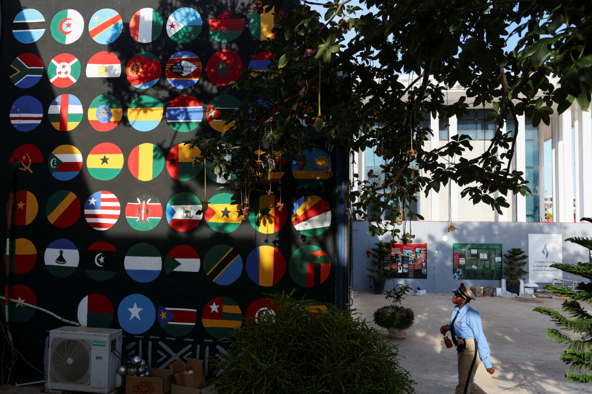
African countries backing the initiative say changing the way the world is shown on maps could also help challenge long-standing perceptions of the continent and the legacy of colonial-era representations.
Togo plans to change school maps
Togo plans to replace Mercator maps in its school geography materials with the Equal Earth projection by the end of the year.
The country also intends to encourage other African states, schools, international organisations and technology companies to consider adopting the projection.
The campaign could extend to digital mapping, GPS and other location-based technologies.
The UN resolution is not legally binding and does not call for the Mercator projection to be abandoned for maritime or aviation navigation, where it continues to be widely used.
The initiative is part of a broader effort by its African sponsors to promote a more accurate representation of the world's geography and challenge perceptions shaped by traditional maps.
Read more:















What is your opinion on this topic?
Leave the first comment