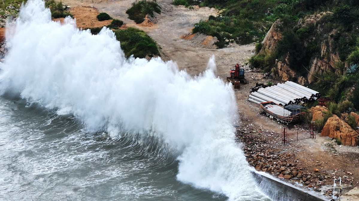
Typhoon Dolphin is expected to make landfall on China’s east coast overnight on Sunday, bringing torrential rain and powerful winds as authorities prepare for flooding and landslides across large parts of eastern China.
The storm could bring as much as 500 mm of rain to parts of Zhejiang province, while ports, reservoirs and areas vulnerable to geological disasters have been placed under heightened monitoring.
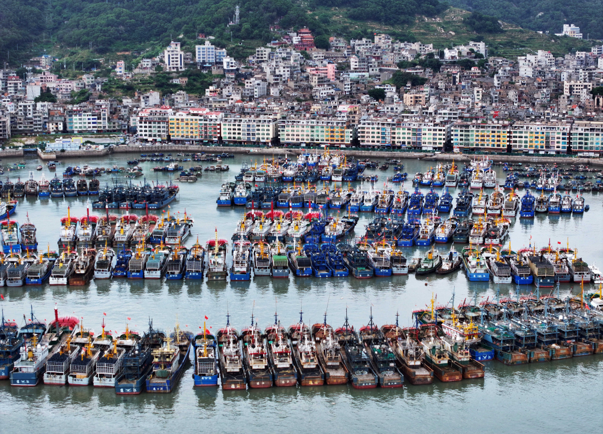
Ahead of the storm’s arrival, authorities moved offshore workers to safety, ordered vessels back to port and stepped up inspections of reservoirs, mountain streams, landslide-prone areas, construction sites and tourist locations.
China’s National Meteorological Centre said Dolphin was expected to reach the coast on Sunday evening and continue making landfall into Monday, with sustained winds of up to 162 kilometres per hour.
The wind strength is equivalent to a Category 2 storm on the Saffir-Simpson Hurricane Wind Scale, which is capable of causing extensive damage to homes, trees and infrastructure.
Before approaching China, Typhoon Dolphin swept through Japan’s southern Okinawa prefecture, injuring six people and leaving more than 50,000 buildings without power.
Many provinces set to be affected
Torrential rain is expected through 10 August across Zhejiang, Shanghai, northern Fujian, northeastern Jiangxi, central and southern Anhui, and much of Jiangsu.
Forecasters said parts of central and eastern Zhejiang could receive between 250 mm and 500 mm of rain.
After making landfall, Dolphin is forecast to move westwards before slowing over central and southwestern China and gradually weakening, Wang Haiping, chief forecaster at the National Meteorological Centre, told state broadcaster CCTV.
The slower movement could prolong heavy rainfall and increase the danger of flooding and landslides, particularly in mountainous areas and along smaller rivers.
Flood and landslide warnings raised
China’s water resources ministry said the Qiantang, Yong, Jiao and Shuiyang rivers could experience major flooding, while smaller rivers in the areas most affected by the storm could rise above warning levels.
Authorities maintained a Level III flood emergency response in Zhejiang and Fujian and a Level IV response in Jiangsu and Anhui.
China’s four-level emergency response system ranks Level I as the most severe.
The emergency management ministry said teams had been deployed to Zhejiang and Fujian to support preparations and emergency response efforts.
The natural resources ministry also activated a Level III geological-disaster response in Zhejiang and a Level IV response in Anhui, warning of possible landslides and other hazards in eastern Zhejiang and western Anhui.
Residents in areas covered by red mountain-torrent warnings were told to follow local evacuation orders.
Shanghai port moves vessels to safety
Shanghai’s Yangshan port cleared ships from its berths and moved more than 500 small and medium-sized vessels to sheltered areas ahead of the typhoon, according to the city’s maritime safety administration.
Authorities are continuing to monitor the storm as it approaches the coast, with the greatest concerns focused on prolonged rainfall, flooding and geological hazards after landfall.
Read more about typhoons:



















What is your opinion on this topic?
Leave the first comment