Iran's space programme is advancing with new communications, radar and Earth observation satellites despite conflict and sanctions, the head of the Iranian Space Agency has said. He also outlined expanded international cooperation and a revised long-term strategy.
Space programme continues despite conflict
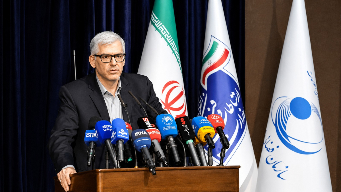
The head of the Iranian Space Agency (ISA), Hassan Salarieh, has announced a broad range of satellite, launch and space technology programmes, including a new geostationary communications satellite, the country's first indigenous synthetic-aperture radar (SAR) satellite and additional Earth observation spacecraft.
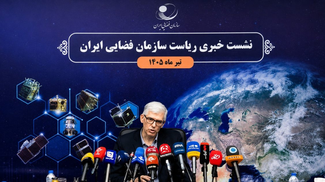
He outlined the achievements and future plans during a press briefing in Tehran on Wednesday, highlighting continued international cooperation and the revision of Iran's long-term space roadmap to reflect emerging technological advances.
During the Israeli–U.S. wars with Iran in 2025 and 2026, the agency under his leadership, along with other Iranian space research centres affiliated with the Ministry of Information and Communications Technology (ICT), was heavily targeted in air raids.
"Despite the specific conditions the country has faced, Iran's space industry has not stopped. These conditions may have created difficulties and limitations in some projects, but these issues in no way mean that projects have stopped or that they are unable to continue on their path,” he told reporters on the sidelines of the briefing, according to the state-run IRNA news agency.
The following summarises Salarieh's remarks, as published on the ISA website, on Iran's indigenous space programme following the Israeli–U.S. war with the Islamic Republic, which broke out in February, as well as the impact of Western sanctions.
Nahid-3 telecommunications satellite
Salarieh said the Nahid-3 telecommunications satellite has entered the design phase and will become Iran's next communications satellite capable of operating in geostationary orbit (GEO).
“The Nahid-3 satellite project, as another of the country's telecommunications satellites capable of providing services in geostationary orbit (GEO), is currently in the design phase,” he said.
Nahid is the Persian name for the planet Venus and is derived from Anahita, the ancient Iranian goddess of water, fertility and purity.
He said development of the upgraded Nahid-2 and Nahid-3 satellites will continue throughout the current Iranian year.
Shahid Soleimani constellation in 2026–2027
Turning to Iran's communications satellite constellation, Salarieh said the Shahid Soleimani narrowband system remains one of the country's highest-priority space projects.
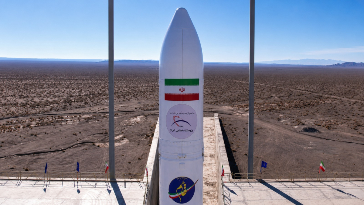
“Another of the country's most important communications projects is the Martyr Soleimani narrowband constellation, which will be implemented in several phases. The first phase consists of 24 satellites, including 18 operational satellites and 6 on-orbit spares."
General Qasem Soleimani was the commander of Iran's Quds Force, the overseas branch of the Islamic Revolutionary Guard Corps (IRGC), before he was killed in a U.S. drone strike in Baghdad in January 2020.
According to Salarieh, the first prototype was unveiled earlier this year, with most subsystem design and manufacturing already completed, while construction of the remaining satellites is progressing.
Multiple-satellite launches
Salarieh said achieving the simultaneous deployment of several satellites using a single launch vehicle remains a strategic objective for Iran's space programme.
“One of this year's major goals is to achieve the simultaneous orbital injection of multiple satellites using a single launch vehicle.”
He noted that Iran successfully demonstrated multiple-satellite deployments between 2022 and 2024, but said the planned simultaneous launch of three Shahid Soleimani satellites would represent a more advanced capability.
Salarieh described the constellation as a narrowband system designed to transmit mission-critical, low-volume data for applications including emergency communications, forest-fire monitoring, pipeline surveillance, leak detection and crisis management.
Earth observation satellites
The ISA chief said Earth observation satellites remain another major pillar of Iran's space programme, citing last year's simultaneous launch of Zafar-2, Paya and Kosar-2 as evidence of expanding national capabilities.
He said the mission reflected cooperation between universities, private industry and government organisations, while the first imagery returned by the Paya satellite has already been unveiled.
“Development of additional remote-sensing satellites will continue throughout the current year,” he said.
Pars-2 nearing launch
Providing an update on the Pars-2 mission, Salarieh said the satellite has completed most of its technical testing and is undergoing final integration tests with its launch vehicle ahead of launch.
“It is designed to provide imagery with a spatial resolution better than three meters and is expected to strengthen Iran's domestic Earth observation capacity.”
Pars-2 is regarded as one of the country's most important Earth observation satellites. Once deployed into orbit, he said, it will significantly enhance Iran's space imaging capabilities alongside the country's other Earth observation satellites.
Expanding Earth observation capabilities
Salarieh said satellite imagery has become indispensable for resource management, environmental monitoring, agriculture, water management and mapping.
Increasing the number and capability of Earth observation satellites, he said, would shorten revisit times over target areas while providing more timely and accurate information for national planning and decision-making.
First indigenous SAR satellite
Salarieh announced that Rad-1, Iran's first indigenous synthetic-aperture radar (SAR) satellite, is approaching completion and will be unveiled after final technical testing.
“The project's original schedule had slipped slightly because of additional testing requirements, describing such delays as normal for complex space programs,” he acknowledged.
According to Salarieh, unveiling the country's first indigenous SAR satellite will mark one of the most significant milestones in Iran's space industry.
The Iranian Space Agency is also moving ahead with the Rad-2 project, which is intended to build on the capabilities of Rad-1.
“The second radar satellite will offer improved imaging performance and further strengthen Iran's indigenous remote-sensing capabilities.”
Pars-3 under development
Salarieh said the Pars-3 Earth observation satellite entered the design phase last year and is being developed by the Iranian Space Research Centre.
Designed to provide imagery with one-metre spatial resolution, he said the satellite represents the country's next step towards higher-resolution remote sensing.
“While construction will extend beyond the current Iranian year, work on engineering models, subsystem development and prototype manufacturing is expected to make substantial progress before the end of the year.”
Cooperation with the private sector
Salarieh welcomed growing cooperation between the government and private industry, saying the launch of the first Kosar satellite prototype demonstrated the value of public-private partnerships in the space sector.
He said development of the second prototype and subsequent generations of higher-resolution Earth observation satellites is continuing, with the agency aiming to expand private-sector participation in future remote-sensing programmes.
AI increases value of satellite imagery
Discussing the digital economy, Salarieh emphasised the growing role of artificial intelligence in extracting value from space-based data.
"When satellite imagery is processed and analysed using artificial intelligence and advanced analytical tools, its economic value increases many times over. A raw satellite image, after specialised processing and the extraction of actionable information, may become ten to twenty times more valuable."
Cooperation with China
Salarieh said the ISA is continuing work on exploratory space missions, including the bioscience capsule programme and cooperation with China on lunar exploration under the Chang'e programme.
“Expanding international partnerships remains a priority both for exporting Iranian space technologies and for benefiting from cooperation with established spacefaring nations.”
He added that although lunar exploration and extraterrestrial resource utilisation may not generate immediate economic returns, they are expected to become increasingly important over the long term as global competition in deep-space exploration intensifies.
Ten-year space programme under review
Salarieh concluded by saying Iran has begun revising its 2022–2031 Ten-Year Space Programme to reflect technological advances made since it was launched.
"The Ten-Year Space Program must be continuously reviewed and updated. We are now prepared to revise the program in accordance with new requirements and technological developments,” the ISA chief announced.


















What is your opinion on this topic?
Leave the first comment